Ground penetrating radar locating in Quebec
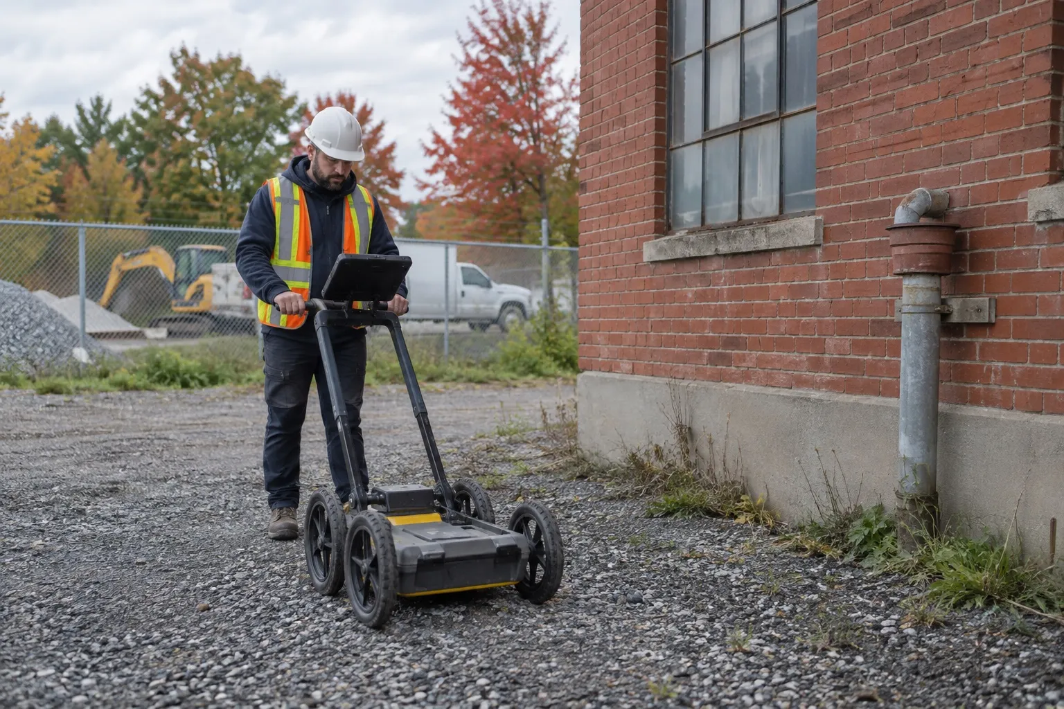
Ground penetrating radar (GPR) locating sends electromagnetic pulses into the ground or concrete and records the reflections produced by any change in material: conduit, cable, void, tank, foundation, bedrock. Détection Souterraine Québec uses GSSI ground penetrating radar to locate what radio detection cannot see, including plastic conduits and buried structures, and delivers a PDF plan with depths within 24 hours.
- PDF report within 24 hours
- Submit your Info-Excavation request for public utilities, and entrust us with the private utilities on your property.
At a glance
- Plastic, concrete and clay conduits, tanks, voids, old foundations
- Survey in profiles or in a grid for surface mapping
- Estimated depth for each target
- Always paired with radio detection
- Montreal, Laval, South Shore, Châteauguay, Dorval
What ground penetrating radar detects
| Target | Detectable with ground penetrating radar | Detectable with radio detection |
|---|---|---|
| PVC or HDPE conduit | Yes | No (unless tracer wire) |
| Metal pipe | Yes | Yes |
| Concrete or clay pipe | Yes | No |
| Buried tank | Yes | Partially (metal) |
| Void or cavity | Yes | No |
| Old foundation, buried slab | Yes | No |
| Energized cable | Yes | Yes |
Ground penetrating radar detection depth
Depth depends on the antenna frequency and the conductivity of the soil. In Quebec soils, a utility locating ground penetrating radar generally reaches one to three metres; dry sand allows deeper readings, while saturated clay and highly conductive fill limit them. A high-frequency antenna gives more detail near the surface, and a low-frequency antenna goes deeper with less resolution. For each target, the report gives the estimated depth and the confidence level.
Common applications
- Locating non-metallic conduits before trenching or directional drilling
- Searching for oil tanks and septic tanks
- Detecting voids under slabs or paving
- Finding old foundations, buried slabs and bedrock before excavation
- Complete mapping of a site for a utility plan
Use cases: choosing the right survey
For a trench, directional drilling or the installation of new equipment, a targeted survey checks the work corridor and its likely crossings. For a yard, a parking lot or a property with an incomplete history, a sweep grid gives a broader reading of conduits, voids and buried structures. We define the extent of the survey based on the area actually affected by the work, rather than presenting locating as unlimited coverage of the property.
Before an outdoor excavation, the Info-Excavation request remains the starting point for public utilities. It does not replace locating the service connections, site conduits, cables between buildings or other private utilities on the property. Ground penetrating radar and radio detection complete that process on the private portion.
Limits to know before the survey
Ground penetrating radar measures contrasts in the ground, so an anomaly does not always identify the exact nature of a target on its own. Wet clay, conductive fill, cluttered surfaces and closely spaced utilities can reduce depth or separate reflections less clearly. The results describe the area swept, the targets observed and the uncertainties noted on site. They are not a guaranteed plan of all utilities, nor an authorization to excavate.
How a survey works
- Definition of the area and the expected precision (targeted paths or full grid).
- Ground penetrating radar passes, with real-time reading and marking of reflections on the ground.
- Cross-checking with radio detection to identify the nature of the targets.
- Data processing and PDF report with plan and profiles.
Why choose Détection Souterraine Québec
- GSSI equipment for the ground (UtilityScan) and concrete (StructureScan).
- Ground penetrating radar is never used alone: radio detection identifies what the radar shows.
- Depths and confidence levels provided rather than a simple path.
- A report your engineers and excavators can use directly.
Related services
Underground utility locating, underground tank detection and concrete scanning.
Frequently asked questions
How much does ground penetrating radar locating cost? Ground penetrating radar locating is billed according to the area to cover and the level of detail requested, from a targeted path of a few hours to a full grid over one day. Request a quote with the area and the objective.
Can ground penetrating radar see through asphalt and concrete? Yes. Asphalt and concrete are crossed without difficulty; it is the underlying soil and its moisture that determine the reading depth.
Can I rent a ground penetrating radar instead of hiring you? The equipment is available for rent, but interpreting the profiles takes experience. A reflection can be a conduit, a rock or an old trench. We deliver the interpretation and the plan, not just the data.
What is the difference with radio detection? Radio detection follows an electromagnetic signal along a metallic conductor. Ground penetrating radar detects any material contrast, metal or not. Both are used together on every job.
Verifiable key points
Out-of-service utilities and depth, two blind spots of a survey
Two situations come up often on private property and explain why a ground-penetrating radar survey is worthwhile even when the active utilities are already known.
An abandoned utility is still a utility to locate(1)
The damage prevention standard covers underground infrastructure that is in service, out of service, abandoned in place or reserved for future use. A disused pipe or an old conduit left in the ground is therefore part of the search, even though no utility owner will come to mark it.
Depth does not appear on the locate report(2)
A locate report gives a path, not a depth, and depth can vary even over short distances. That is why each target in the survey comes with an estimated depth and a confidence level.
Sources
- (1) CAN/CSA-Z247, Damage prevention for the protection of underground infrastructure https://scc-ccn.ca/standards/notices-of-intent/csa-group/damage-prevention-protection-underground-infrastructure
- (2) Canadian guidelines for safe excavation near Bell infrastructure, 2018 (French version, document hosted by Info-Excavation) https://www.info-ex.com/wp-content/uploads/2018/03/2018-Canadian-Excavation-Guidelines_FR_V2.pdf
Resources on this service
All resourcesGround penetrating radar (GPR) to see underground without digging
Learn how ground penetrating radar detects conduits, tanks and voids underground without digging, with its real depth range in Quebec and its limits.
Info excavation Quebec for digging safely in the capital
Learn how to combine info excavation Quebec with a private GPR survey to dig safely despite shallow bedrock and aging utilities in Quebec City.
Schedule your ground penetrating radar survey
Tell us the area, what you are looking for and the city. Reply within 24 to 48 business hours.
- PDF report within 24 hours
- Submit your Info-Excavation request for public utilities, and entrust us with the private utilities on your property.